07 April 2023
Coed Olaf - Industrial Heritage of Amman Valley
Coed Olaf is not only on former farmland but is a landscape shaped by its industrial heritage. Amman Valley was a mining valley and the towns between Ammanford and Brynamman were created when the railway came and opened stations.
The land is in a space shaped by the Industrial Revolution. The geology is the South Wales Coal Measures and the ground almost leaks coal, and there is, also, a seam of iron ore that crosses the land. Bryncethen (or Bryncethin) translates as Black or Dark Hill, which may refer to its coaly character, and pollution from coalmining and industry meant Garnant used to run black, so was locally called Nant Ddu (Black Beck) in the recent past.[1]
The Tramway that cuts northeast across Cwm Garnant was constructed in 1904 from coaly soil. it was built to transport coal from the Cawdor pit at the base of Cwmhelen to the ‘old’ mineral railway line in the valley. Coal wagons were winched up the slope to the mine, then wound down under gravity. Cawdor mine operated 1894 – 1935, with the Private Siding Agreement was terminated and the sidings lifted in 1933. Charles and David James from Cwm Garnant farm worked at the pit in 1921, when about 500 men worked there, 410 working below ground and the rest above ground.
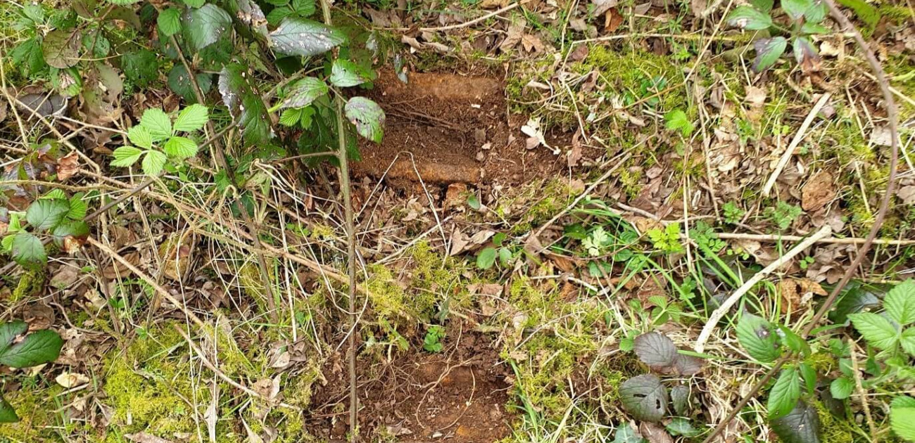
Most of the tramway has been removed from the fields between Cawdor pit and the old railway line, but a short 125 m section still exists on the woodland. It runs from the south of Waunygarnant to the Triangle and then into the railway cutting where the old concrete supports can still be seen at the edge of our woodland. There are, also, several iron tramway tracks that have been discarded in the Triangle. Soil samples of the Triangle taken in Dec 2022 had low levels of polycyclic aromatic hydrocarbons, e.g. dibenz(ah)anthracene; these are likely derived from the small pieces of coal used to build the Tramway, which runs to the south and the eastern edge of the sample area.


The land has been extensively mined beneath our wood at the Cwm Garnant end and the southeast corner near Quarry Place, close to Gwaun-Cae-Gurwen. Shallow mining was carried out in the north end of Waunfain in 1871, but most of the coalmining was deeper underground accessed from shafts in the valley at Garnant pit (around Cawdor House now) or later through adits in the hillside towards the northeast. Indeed, there is at least one entrance in the woodland and one very close to the cowshed.
Garnant pit operated 1858 – 1914 but may have been mined from the 1830s. There was a terrible accident at Garnant pit in 1884 when it was known locally as Pwll Perkins (Perkins Pit); 10 men died when the rope holding the cage to take them down the shaft broke. In 1911, Charles James of Cwm Garnant was a timberman in the pit.
The seam to the southeast near Quarry Place was mined in 1910 but it is unclear how this was accessed.
Across Bryncethin Road, the land towards Glanaman is now green grassland. However, this is a reconstructed landscape that was all opencast mined 1988 – 1993. Some of the land has become Garnant Golf Course, the rest is farmland. The fields are very different from those on the woodland – big and with straight edges. They are green and uniform and stretch from the road to the golf course.
Running slightly north of the woodland, the railway has shaped the landscape. Before the railways were built, the valley was a remote farming community of scattered farms called Cwmaman (Amman Valley) with about 40 households living here. The railway opened the valley up to the transport of coal from its pits, so creating the mining industry, and allowed people to travel down to Llanelli and Swansea. Later, roads and motor transport further opened the area up, but around the same time the trains stopped carrying people, and then the mines closed.
The first railway line into the area began in 1835 and went from Llanelli to Pantyffynnon, then branched into Amman valley, reaching here by 1841 with the building of stations at Glanaman and Garnant. This established these settlements as physical entities. The line continued via Gwaun-Cae-Gurwen to Brynaman to the east, where you could take a different line down to Swansea. These tracks were slightly to the north of the railway cut and were where the Private Siding Agreement connected the tramway to the rail network.

Later, a new line was planned by Great Western Railway to go slightly to the south of the original line, cutting through Bryncethen at Cwm Garnant, then curving to the southeast along the edge of Ty-isaf, before continuing down to Swansea. Work began before WW1 and the cutting was excavated along the northeast edge of the farmland and track laid to Gwaun-Cae-Gurwen, but work was halted by the war.
After the war, in the late 1920s, work restarted on the branch heading south by Ty-isaf, but this never became operational and, while a new railway station was built, it never opened. Together, these took out some fields and the woods in the valley, cut Ty-isaf off from its fields and a bridge was built to give access to its land, and part of Cae Mawr was dug out and the two original fields (Cae Canol and Cae Mawr) were combined to make a new, bigger field.
The East Pit at Brynaman, the last local mine, closed in 2021 and the mineral railway northeast of Cwm Garnant, which had transported some of its coal, ceased operations at the same time. Although the two railway paths may be used again in the future and remain owned by Network Rail, they are being converted into cycle paths and will be maintained by the local councils.
Note:
[1] There is a beck to the north called Nant Du, but this is a feeder into the Garnant. In his memoirs, James Tait wrote that in the 1940s ‘it flowed ice cold and crystal clear, but it became black and polluted and blackened as it passed the colliery’ but which stream he was referring to is unclear.